Where Is Marrakech? Complete Guide to Morocco’s Imperial City on the Map
Discover where Marrakech is located in Morocco, view detailed city and regional maps, and explore its unique geography between the Atlas Mountains and Sahara Desert in this complete guide.
Where is Marrakech? It’s a question that sparks the imagination — a city of rose-pink walls rising from a sun-baked plain, framed by the snow-capped High Atlas Mountains to the east and the vast Sahara Desert stretching to the south. Marrakech sits at the geographic and cultural heart of Morocco, a position that has made it one of the most captivating cities on the African continent for nearly a thousand years. Whether you’re tracing your finger across a map or planning your first visit, understanding exactly where this imperial city lies unlocks a deeper appreciation of its history, climate, and magnetic pull on travelers from around the world.
✦ Key Takeaways
Marrakech is located in central Morocco, west of the Atlas Mountains and at the crossroads of the Sahara Desert.
It is one of Morocco’s four imperial cities and the capital of the Marrakesh-Safi region.
The city is divided into distinct districts like the historic Medina (a UNESCO site), modern Gueliz, and upscale Hivernage.
The Atlas Mountains are just 65 km away, providing a stunning backdrop and influencing the city’s climate and culture.
Marrakech is highly accessible via Menara Airport (RAK), a national rail network, and major highways.
Marrakech’s Position on the Morocco Map
When looking at a Morocco map, Marrakech can be found in the central part of the country, approximately 327 kilometers southwest of Rabat, the capital city. As the fourth largest city in Morocco, Marrakech boasts a population of nearly 1.5 million people, making it a significant urban center and one of the most visited destinations in all of North Africa.
What makes Marrakech’s location particularly special is its position at the crossroads of two dramatically different landscapes: the Sahara Desert and the High Atlas Mountains. This unique geographical placement has contributed to the city’s historical importance as a trading hub and cultural melting pot, where caravans from sub-Saharan Africa met merchants from the Mediterranean coast.
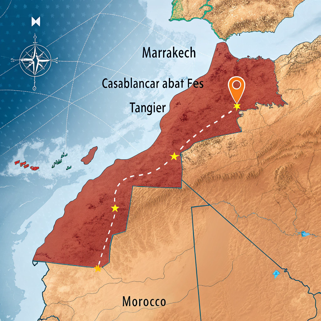
The city sits on the Haouz Plain, a fertile and irrigated area that contrasts sharply with the rugged mountains to the east and the arid desert regions to the south. On the Morocco map, Marrakech is centrally positioned in relation to other major Moroccan cities:
- About 240 km southwest of Casablanca, Morocco’s largest city
- Approximately 530 km southwest of Fes, another imperial city
- Around 327 km southwest of Rabat, the country’s capital
- About 700 km southwest of Tangier, the northern port city
💡 GPS Coordinates: Marrakech sits at 31.628674° N, 7.992047° W — roughly at the same latitude as Houston, Texas or Cairo, Egypt, which helps explain its warm, semi-arid climate.
This central position on the Morocco map has made Marrakech a natural gathering point throughout history. If you’re interested in exploring Morocco’s other ancient imperial cities and their historical treasures, Marrakech serves as an ideal starting point for understanding the country’s rich heritage.
Powered by GetYourGuide
Marrakech Within Morocco’s Geography
To fully understand where Marrakech is, we need to look at Morocco’s overall geographical context. Morocco itself is located in Northern Africa, at the extreme northwest corner of the African continent, just a stone’s throw from continental Europe. The narrow Strait of Gibraltar, only 14 kilometers wide at its narrowest point, separates Morocco from Spain.
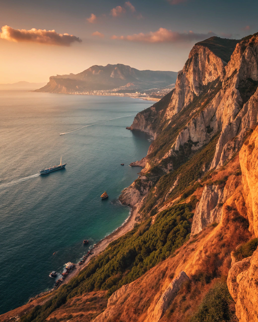
Morocco’s geography is remarkably diverse, featuring extensive coastlines along both the Mediterranean Sea and Atlantic Ocean, towering mountain ranges, fertile plains, and the edges of the Sahara Desert. Within this varied landscape, Marrakech stands out for its inland position, approximately 160 kilometers from the Atlantic coast. Travelers interested in exploring the Sahara Desert on guided tours will find Marrakech the perfect starting point for multi-day desert excursions.
Unlike coastal Moroccan cities such as Casablanca or Essaouira, Marrakech’s inland location has blessed it with a distinctly different climate — hotter summers, cooler winters, and a cultural atmosphere shaped by centuries of overland trade rather than maritime commerce.
Marrakech holds the distinction of being the first of Morocco’s four imperial cities — the others being Fes, Meknes, and Rabat. Founded in 1062 by Abu Bakr ibn Umar, the city has served as the capital of Morocco during several periods of its rich and storied history, cementing its importance on the Marrakech Morocco map.
The city’s name itself is believed to have given Morocco its name in several European languages. In French, Spanish, and English, “Morocco” derives from “Marrakech” — a testament to how central this city has been to the country’s identity for nearly a millennium.
Detailed Look at Marrakech City Map
When examining a Marrakech city map, you’ll notice the city is divided into several distinct districts, each with its own character and attractions. Understanding these neighborhoods is essential for planning your visit — and once you’ve explored them, our guide on where to stay in Marrakech’s best areas will help you choose your ideal base.

The Medina (Old City)
The historic heart of Marrakech is its ancient Medina, a UNESCO World Heritage site dating back to the 11th century. On any Marrakech city map, you’ll see the Medina enclosed by striking red walls stretching for 19 kilometers with 19 gates (or “babs”) providing entry points. This labyrinthine district is home to traditional souks, historic riads, and numerous historical monuments. For a deep dive into navigating its winding alleys, see our guide to exploring Marrakech Medina’s souks and historic palaces.
Gueliz (New City)
North of the Medina lies Gueliz, the new city established during the French colonial period in the early 20th century. This district features wide, straight avenues, modern shops, cafes, and European-inspired architecture, offering a stark contrast to the ancient Medina. On the Marrakech city map, Gueliz appears as a grid-like counterpoint to the organic chaos of the old town.
Kasbah District
The Kasbah area, in the southern part of the Medina, once served as the fortified military quarter and royal residence. On a Marrakech city map, you’ll find important landmarks here including the Saadian Tombs and the Royal Palace — both essential stops for history enthusiasts.
Mellah (Jewish Quarter)
The historic Jewish neighborhood of Marrakech is distinguished by its distinctive architecture featuring balconies and larger windows than those found in the Muslim quarters. Today, few Jewish residents remain, but the district preserves unique architectural elements and includes the Slat Al Azama Synagogue — a fascinating window into Morocco’s diverse cultural heritage.
Hivernage
This upscale neighborhood located west of the Medina is known for its luxury hotels, fine dining restaurants, and nightlife options. The Marrakech city map shows this area as one of the more modern and affluent sections of the city, popular with travelers seeking contemporary comforts alongside traditional experiences.
Key landmarks visible on any Marrakech city map include:
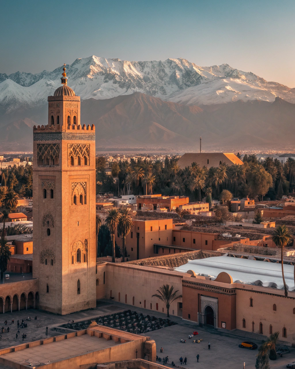
- The Koutoubia Mosque with its iconic 77-meter minaret — the city’s defining skyline feature
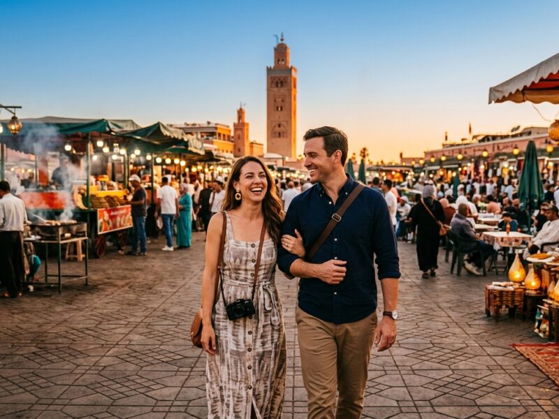
- Jemaa el-Fnaa square, the bustling main square and marketplace
- Majorelle Garden, the stunning blue botanical garden created by Jacques Majorelle
- Bahia Palace, a masterpiece of Moroccan architecture
- El Badi Palace, a ruined palace that once showcased the wealth of the Saadian dynasty
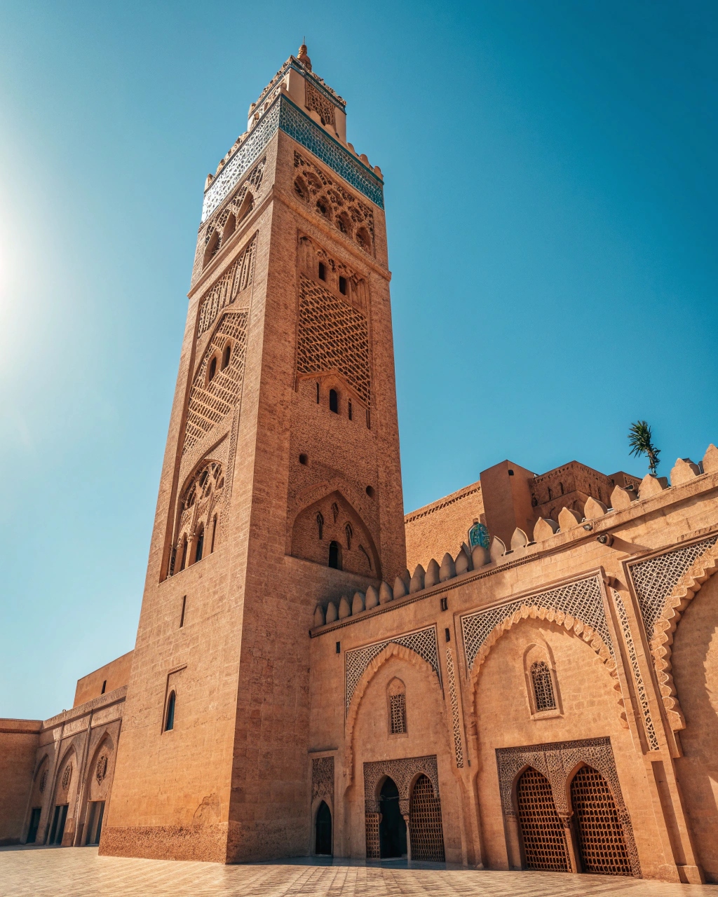
Many visitors opt for a comprehensive city tour covering the souks, palaces, and hidden gems to navigate these landmarks efficiently, especially on a first visit when the Medina’s maze-like streets can be disorienting.
Powered by GetYourGuide
Marrakech’s Proximity to the Atlas Mountains
One of the most striking aspects of where Marrakech is located is its proximity to the majestic Atlas Mountains. These mountains lie approximately 65 kilometers (40 miles) from the city, creating a spectacular backdrop visible from many rooftop terraces on clear days — a view that has inspired travelers, artists, and writers for centuries.
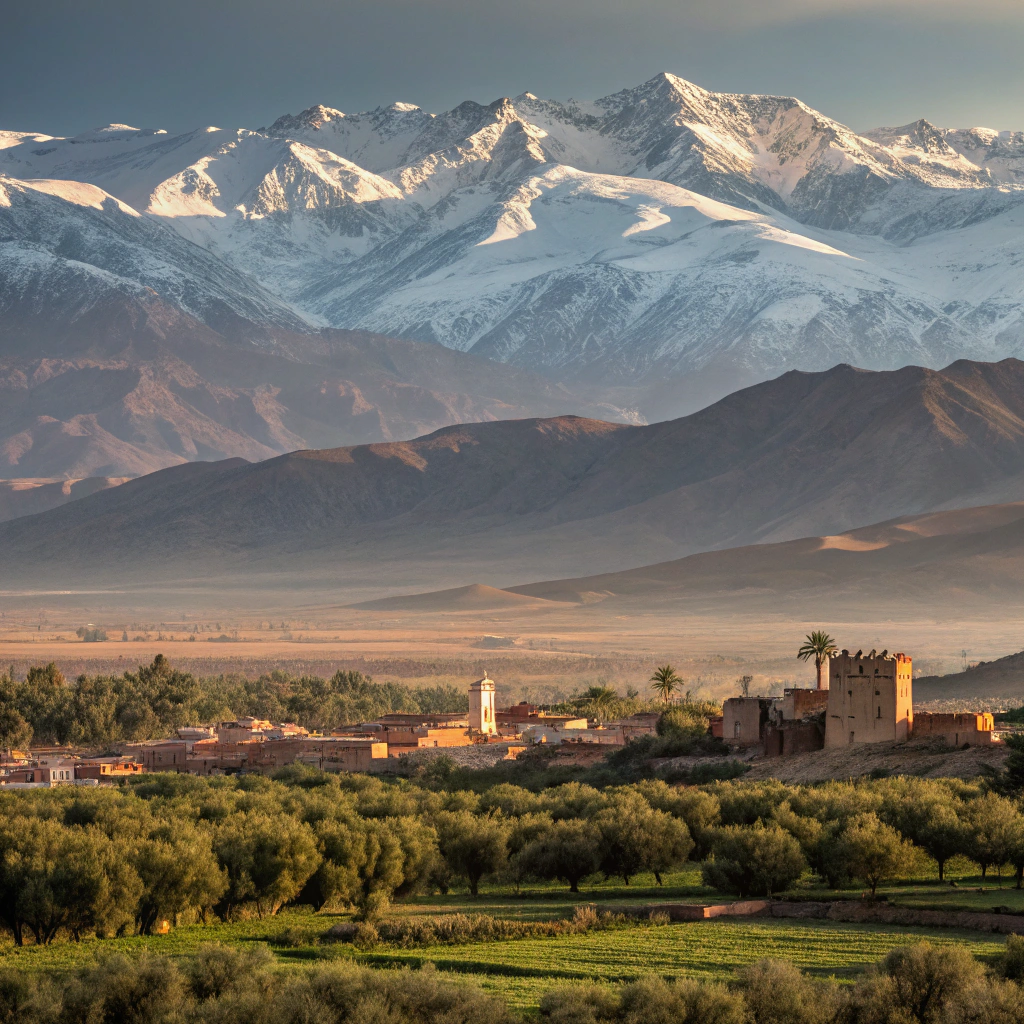
The Atlas Mountains form a natural barrier separating the Mediterranean climate of northern Morocco from the harsh conditions of the Sahara Desert. This mountain range extends across Morocco, Algeria, and Tunisia, with the highest peaks — including Mount Toubkal at 4,167 meters — found in Morocco’s High Atlas section.
🏔️ Day Trip Potential: From Marrakech, it takes about 60 minutes by car to reach the foothills of the Atlas Mountains. The small town of Imlil, a popular base camp for Mount Toubkal treks, is just 90 km away — making the mountains an easy and unforgettable day trip.
A day trip to explore Berber villages and waterfalls in the Atlas Mountains is one of the most popular excursions from the city. For those seeking a more immersive experience, our Atlas Mountains trekking guide covers multi-day routes, difficulty levels, and the best seasons to hike.
This proximity to the mountains significantly influences Marrakech’s climate and culture. The mountains block some of the harsh desert conditions while providing water resources through snowmelt and rainfall. Culturally, the nearby Berber villages have contributed to Marrakech’s diverse heritage, with mountain residents trading goods in the city’s markets for centuries — a tradition that continues every day in the Medina’s souks.
Powered by GetYourGuide
Transportation and Accessibility
Understanding where Marrakech is located also involves knowing how to reach this captivating city. Marrakech is well-connected to the rest of Morocco and the world through multiple transportation options, making it one of the most accessible destinations in North Africa.
By Air
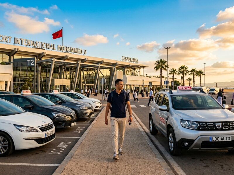
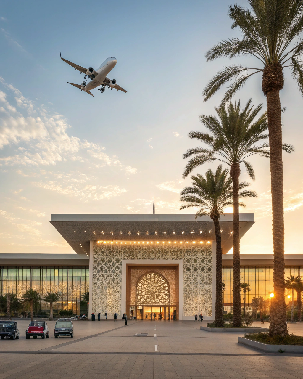
Marrakech Menara Airport (RAK), located about 5 kilometers southwest of the city center, serves as the main gateway for international visitors. The airport connects Marrakech with major European cities and other international destinations, handling over 5 million passengers annually. You can pre-book a reliable airport transfer in Marrakech to avoid the hassle of negotiating taxi fares upon arrival.
If your flight is delayed or canceled on the way to Marrakech, services like Compensair can help you claim up to €600 in airline compensation — worth knowing before your trip.
By Rail
Marrakech’s railway station links the city to Morocco’s national rail network, with regular connections to cities like Casablanca, Rabat, Tangier, and Fes. The modern trains offer a comfortable and scenic way to travel between destinations. For detailed schedules, ticket prices, and booking advice, see our comprehensive Morocco trains travel guide.
By Road
An extensive network of highways and roads connects Marrakech to other Moroccan cities. The A7 autoroute links Marrakech with Casablanca, while national roads connect to other major destinations. Long-distance buses operated by companies like CTM and Supratours provide affordable travel options. For those who prefer independence, renting a car in Morocco opens up the flexibility to explore at your own pace.
Local Transportation
Within the city, as seen on any Marrakech city map, transportation options include:
- Petit taxis — small red taxis for travel within city limits
- Grand taxis — larger shared taxis for intercity travel
- Local buses — affordable but can be crowded
- Horse-drawn carriages (calèches) — popular with tourists for scenic rides
- Walking — the best and only way to explore the car-free Medina
The city’s layout, particularly in the new districts, is relatively straightforward, though the Medina’s winding alleys can be confusing for first-time visitors. Many tourists use the prominent Koutoubia Mosque minaret as a landmark for orientation — if you can see it, you can find your way back to the main square.
Powered by GetYourGuide
Regional Context and Surroundings
Marrakech serves as the capital of the Marrakech-Safi region, one of Morocco’s twelve administrative divisions. This region covers an area of 39,167 square kilometers and includes landscapes as diverse as the High Atlas peaks and Atlantic coastal stretches — all within a few hours’ drive.
The immediate surroundings of Marrakech feature the fertile Haouz Plain, which has historically provided agricultural resources for the city. The plain is irrigated by water systems that have existed since medieval times, demonstrating sophisticated water management techniques that were revolutionary for their era.
Several smaller towns and villages surround Marrakech, many of which make excellent day trips from the city:
- Ourika Valley — about 30 km southeast, known for its beautiful landscapes and Berber villages
- Oukaïmeden — a ski resort in the Atlas Mountains approximately 80 km from Marrakech
- Amizmiz — a small town 55 km south with a large weekly market
- Essaouira — a charming coastal town 170 km west on the Atlantic coast. You can book a full-day trip to the coastal town of Essaouira.
- Ait Benhaddou — a famous ksar (fortified village) and UNESCO World Heritage site about 175 km east. A popular option is a day trip to UNESCO-listed Ait Benhaddou.
Marrakech’s location at the historical crossroads of trade routes connecting sub-Saharan Africa with the Mediterranean world has made it a cultural melting pot. Goods from the Sahara, the High Atlas, and the coastal regions all converged in Marrakech’s markets, creating a diverse commercial center that continues to thrive today. For those who want to discover places beyond the typical tourist trail, our guide to hidden gems and offbeat adventures in Morocco offers inspiration for exploring the region surrounding Marrakech.
📌 Planning note: The best time to visit Marrakech is during spring (March–May) or autumn (September–November) when temperatures are pleasant and the Atlas Mountains are at their most photogenic. Summer temperatures regularly exceed 40°C, while winters are mild but nights can be cool.
Powered by GetYourGuide
Reserve Your Spot
Book Your Marrakech Experience
From guided medina walks to Atlas Mountain excursions and desert adventures — find and book the perfect Marrakech experience. Instant confirmation, free cancellation on most tours.
Frequently Asked Questions
Everything you need to know about where Marrakech is located
✦ Your Morocco Journey Starts Here
Experience the Magic of Marrakech
Now that you know exactly where Marrakech sits on the map — between soaring mountains and sweeping desert — it’s time to step beyond the coordinates and into the experience. Ancient souks, rooftop sunsets over the Atlas, and the intoxicating energy of Jemaa el-Fnaa are waiting. Your Moroccan adventure starts with a single booking.